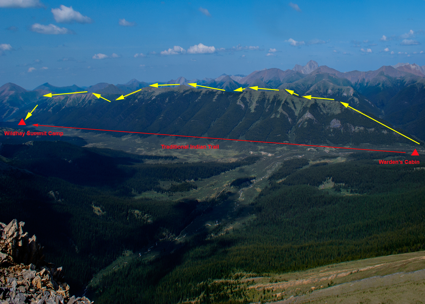
| Willmore Wilderness Park, A Photography Slideshow | Route along the Wildhay Ridge. The horse trail follows the valley bottom. | | return to start | Maps & Information | next-> | |
|
|
| This is a terrible image but it's useful in showing the entire ridge. You can see that it has a number of small (50-100 meter) dips and rises, and one large dip and rise (about 150 meters) about 3/4 of the way to the Wildhay Summit Camp. There's no water on top of the ridge, and the top is entirely alpine with little shelter. So backpacking to the top and planning an overnight should be carefully considered. |
|
| Home | Email | About This Website | Image Sales & Copyright | |