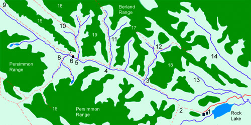
Willmore Entry Page
Willmore Slideshow
A Hiking Story
Hiking Tips
Maps
How to Get To Willmore
Where to Stay
Ray's Guided Trips
Conservation Issues
External Links:
Five Photographers
Alberta's Special Places
Endangered Species
 
Ray's Web
Email

Map 1: Route from Rock Lake Trailhead to Eagle's Nest Pass
Willmore Wilderness Park, Rocky Mountains, Alberta, Canada

Nomenclature and Approximate Distances
1 = Rock Lake Trail head [ 0 km]
2 = Junction :Willow Creek Trail [1 km]
3 = Junction: Seep Creek [7 km]
4 = Junction: Carson Creek [12 km]
5 = Junction: Pope-Thoreau [15 km]
6 = Forest Service Cabin [15.5 km] Can be used for shelter
7 = Junction: Mountain & Indian Trails [17 km]
8 = Eagle's Nest Pass Area and Camps [18 km]
9 = Indian Trail to Hay Summit, South Berland and Persimmon Creeks
10 = Pope-Thoreau Trail to South Berland Creek
11 = Upper Carson Creek Camp
12 = Seep Creek Camp

Willmore Wilderness Park, Rocky Mountains, Alberta, Canada. This webpage is about the relatively untouched and unknown Willmore Wilderness Provincial Park, located just north of Jasper National Park in the Rocky Mountains bordering the provinces of British Columbia and Alberta, Canada. It contains information and maps about hiking and horse back riding and outfitters in Willmore Wilderness Park. The webpage is done by Ray Rasmussen who has been hiking in Willmore Wilderness Park for more than 20 years.